I specialize in capturing high-resolution data for orthomosaics, depth maps, and 3D models, perfect for real estate and property owners. This technology provides stunning aerial views and detailed maps, along with compelling commercial videos to showcase land or projects. For construction, mining, and agriculture, I offer precise inspections and site documentation, surpassing satellite imagery in detail. With experience serving private and commercial clients, I deliver tailored solutions.

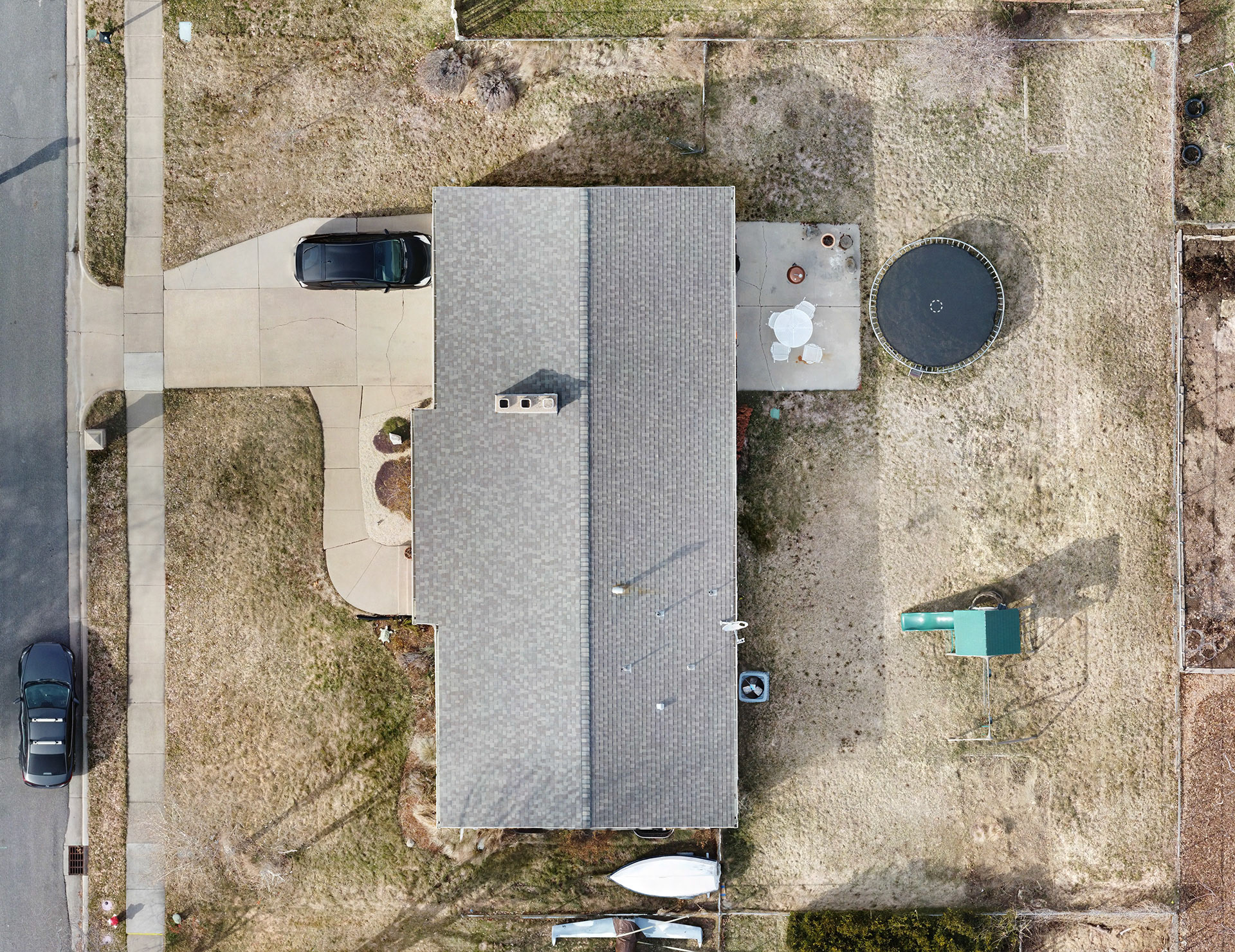
Residential orthomosaic photo for real estate

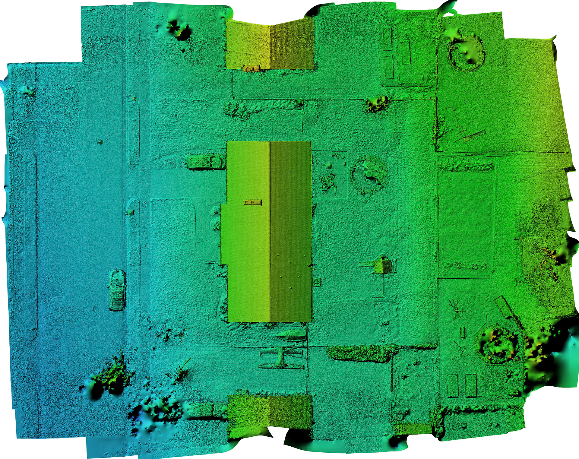
Residential depth map for real estate

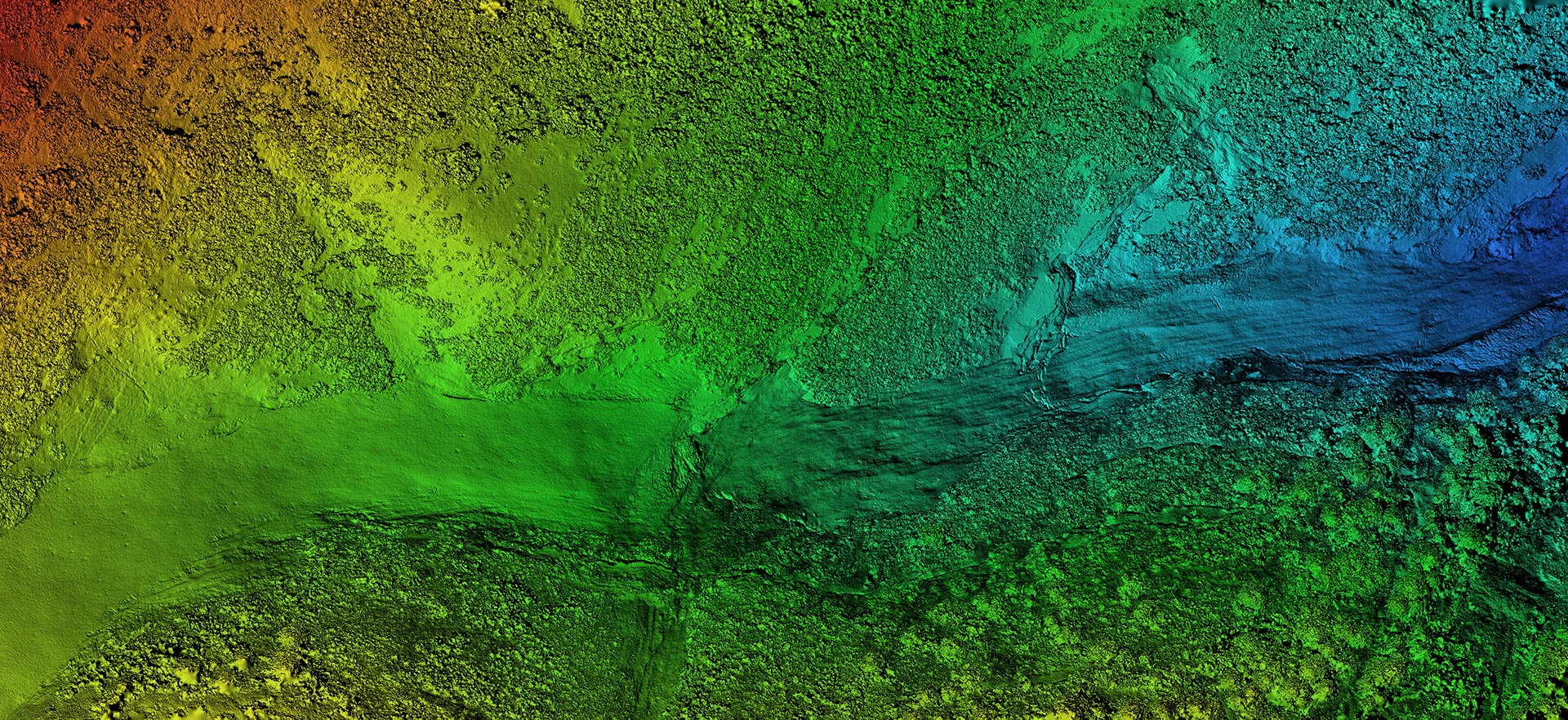
Depth map for private canyon property over 2 miles long

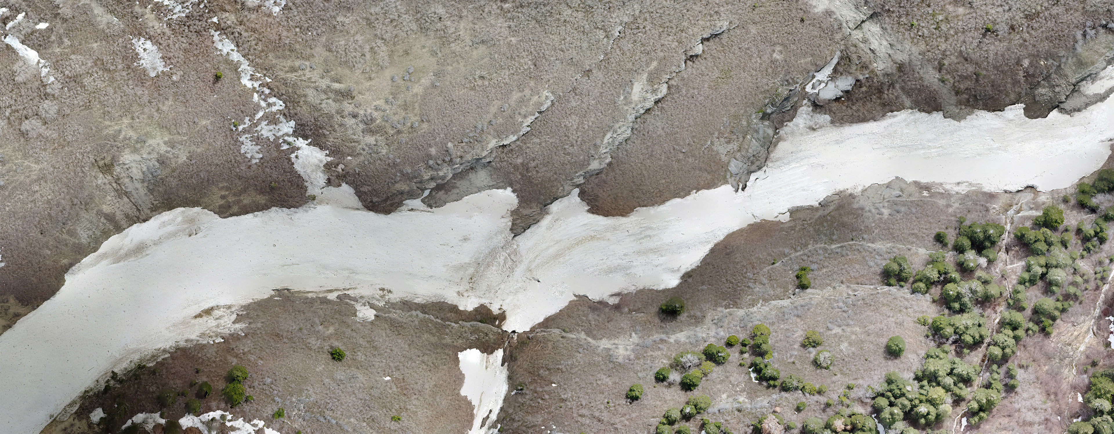
Orthomosaic photo for private canyon property over 2 miles long
3D model for real estate